Imray
Imray -ryhmän tuotteet
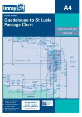
Imray's boating chart for the Caribbean Lesser Antilles from Guadeloupe to St Lucia.
- Scale: 1:400,000
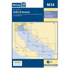
Venice (1:50,000)
Approaches to Grado (1:25 000)
Monfalcone (1:30,000)
Trieste (1:24,000)
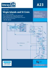
Imray's nautical chart for the Caribbean around the island of St. Croix. Includes an additional map of St. Croix (1:100,000).
Included map plans:
Christiansted (St. Croix)
Port Alucroix and Limetree Bay (St. Croix)
Frederiksted (St. Croix)
Green Cay Marina (St. Croix)
Road Harbour (Tortola)
Charlotte Amalie (St. Thomas)
- Scale: 1:285,000.
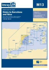
Imray's boating chart for the east coast of Spain
- Scale: 1:440,000
- Denia (1:20,000)
- Valencia Harbour (1:35,000)
- Tarragona (1:25,000)
- Barcelona Harbour (1:65,000)
- San Antonio (Ibiza) (1:30,000)
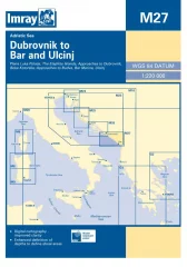
Plans included:
- Port of Polace (1:35 000)
- The Elaphite Islands (1:90 000)
- Approaches to Dubrovnik (1:50 000)
- Bay of Kotor (1:100,000)
- Approaches to Budva (1:75 000)
- Bar Marina (1:50 000)
- Ulcinj (1:10,000)
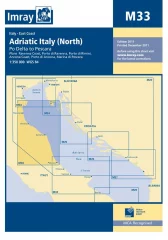
Imray's nautical chart for the Adriatic Sea to the Italian coast. Includes an additional map of St. Croix (1:100,000).
Included map plans:
- Christiansted (St. Croix)
- Port Alucroix and Limetree Bay (St. Croix)
- Frederiksted (St. Croix)
- Green Cay Marina (St. Croix)
- Road Harbour (Tortola)
- Charlotte Amalie (St. Thomas)
- Virgin Islands and St. Croix
- Scale: 1:285,000
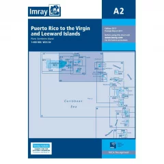
Imray's boating chart for the Caribbean Greater Antilles from Puerto Rico to St Christopher
- 1:400 000

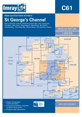
Imray's boating map for the northwestern coast of France to the northern part of the Bay of Biscay
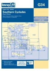
Imray G34 from the Aegean Sea to Greece.
- Scale: 1:200,000
- Órmos Íou (Nísos Íos) (1:25 000)
- Koufonia (Epano Koufonia) (1:15 000)
- Ormos Maltezana (Analipsis) (Nísos Astipalaia) (1:25 000)

Imray G38
- Scale: 1:190,000
- Heraklion (1:15,000)
- Spinalonga (1:50 000)
- Áyios Nikolaos (1:15 000)
- Sitia (1:10 000)
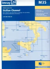
Scale: 1:375,000
Plans included:
- Bizerte (1:30 000)
- Cap Gammarth to Carthage (1:65 000)
- Port de Kélibia (1:15 000)
- Port Yasmine Hammamet (1:25 000)
- Pantelleria (1:10 000)
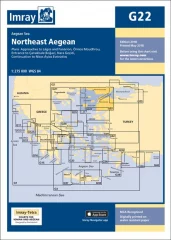
Plans included:
- Approaches to Lágos and Fanárion (1:50,000)
- Órmos Moudhrou (1:50 000)
- Entrance to Çanakkale Bogazi (1:100 000)
- Nara Geçidi (1:75 000)
- Continuation to Nísos Áyios Evstratios (1:275 000)
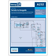
Scale: 1:90,000 WGS 84
Plans included:
Road Harbour & Approaches (Tortola) (1:20,000)
Virgin Gorda Yacht Harbour (Virgin Gorda) (1:20,000)
South Sound (Virgin Gorda) (1:20,000)
Gorda Sound (Virgin Gorda) (1:25,000)
Great Camanoe to Scrub Island (1:20,000)
Fat Hogs Bay & Maya Cove (Tortola) (1:20,000)
On this edition the latest depth surveys have been applied. The chart specification has been improved to show coloured light flashes. There has been general updating throughout.

- Imray C3
- Alue: Isle of Wight
- Edition: 2014
The Imray C9 map covers the area from Beachy Head to the Isle of Wight. The scale is 1:110,000 WGS 84.
- Portsmouth, Langstone & Chichester Harbours (1:55,000)
- Littlehampton (1:13,500)
- Shoreham Harbour (1:20,000)
- Brighton Marina (1:8,500)
- Newhaven (1:16,500)
- Sovereign Harbour (1:15,000)
Scale: 1:170,000
Plans include:
- Porto Santo
- Port of Funchal
- Port of Sao Lourenco
- Port of Reireio da Calheta
On the reverse side: Salvage Islands
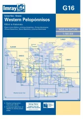
Imray G16 from Killini to Kalamáta.
- Scale: 1:190,000
- Killinis Limestone (1:12 500)
- Limin Katakola (1:20,000)
- Ormos Kiparissias (1:7500)
- Ormos Navarinou (1:30,000)
- Steno Methonis (1:20,000)
- Limenas Kalamatás (1:12 500)


