General Maps of Finland
Large domestic general atlas magazines.General Maps of Finland -ryhmän tuotteet
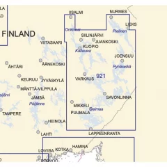
- Area: Vuoksen's waterways
- Scale: 1:250,000
- Size: 82 × 112 cm
- Appearance/binding: straight map sheet
- Series: General Nautical Chart
- Corrected: 2014
- Weight: 2
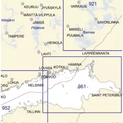
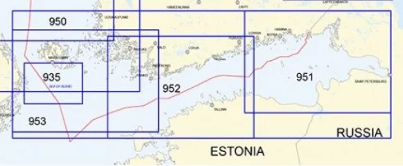
- Area: Eastern Gulf of Finland
- Area: Eastern Gulf of Finland
- Scale: 1:250,000
- Size: 82 × 112 cm
- Appearance/binding: straight map sheet
- Series: General Nautical Chart
- Corrected: 2015
- Weight: 4
- Region: Kvarken
- Area: North Quarry
- INT 1208
- Scale: 1:250,000
- Size: 82 × 112 cm
- Appearance/binding: straight map sheet
- Series: General Nautical Chart
- Corrected: 2016
- Weight: 3
- Area: Western Gulf of Finland
- Area: Western Gulf of Finland
- Scale: 1:250,000
- Size: 82 × 112 cm
- Appearance/binding: straight map sheet
- Series: General Nautical Chart
- Corrected: 2015
- Weight: 7
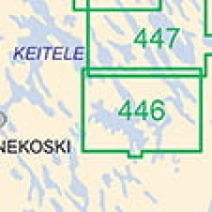
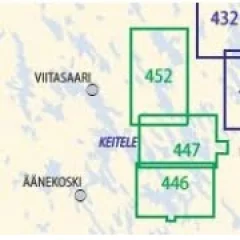
The Finnish Transport Agency's inland water maps for lake areas cover the Saimaa and Päijänne watersheds. The scales of the maps vary between 1:30,000 and 1:50,000. The layout of the maps is straight.
- Scale: 1:40,000
- Size: 82 × 112 cm
- Outer appearance/binding appearance: straight map sheet
- Series: Inland Water Map
- Library class: 69.6302
- ISBN: 978-952-266-125-8
- EAN: 9789522661258
- ID: F203108
- Publisher: Karttakeskus
- Language: Finnish, English, German
- Edition: 2.
- Year of publication: 2005
The Finnish Transport Agency's inland water maps for lake areas cover the Saimaa and Päijänne watersheds. The scales of the maps vary between 1:30,000 and 1:50,000. The layout of the maps is straight.
- Scale: 1:50,000
- Size: 82 × 112 cm
- Outer appearance/binding appearance: straight map sheet
- Series: Inland Water Map
- Library class: 69.6302
- ISBN: 951-49-1433-3
- EAN: 9789514914331
- ID: F126526
- Publisher: Finnish Maritime Administration
- Language: Finnish, English, German
- Year of publication: 2006
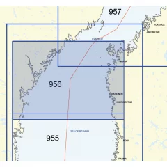
- Area: Northern Bothnian Sea
- Area: Northern Bothnian Sea
- Scale: 1:250,000
- Size: 82 × 112 cm
- Appearance/binding: straight map sheet
- Series: General Nautical Chart
- Corrected: 2023
- Weight: 1

- Area: Southern Bothnian Sea
- Area: Southern Bothnian Sea
- Scale: 1:250,000
- Size: 82 × 112 cm
- Appearance/binding: straight map sheet
- Series: General Nautical Chart
- Corrected: 2016
- Weight: 1
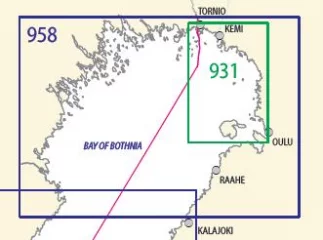
- Area: Bothnian Bay
- Area: Bothnian Bay
- Scale: 1:250,000
- Size: 82 × 112 cm
- Appearance/binding: straight map sheet
- Series: General Nautical Chart
- Corrected: 2023
- Weight: 4
- Area: Eastern North Baltic Sea
- Area: Norra Östersjön, östra delen
- Scale: 1:250,000
- Size: 82 × 112 cm
- Appearance/binding: straight map sheet
- Series: General Nautical Chart
- Corrected: 2017
- Weight: 1
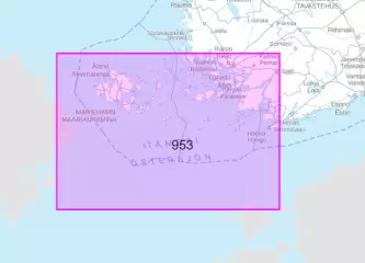
A 4-part general map set, scale 1:250,000 or 1:100,000, intended for offshore sailing and route planning. Also suitable for wall mounting.
- Area: Gulf of Finland - Archipelago Sea (4-part)
- Area: Finska Viken - Skärgårdshavet (4-delar)
- Scale: 1:250,000
- Size: 82 × 112 cm
- Appearance/binding: straight map sheet
- Series: General Nautical Chart
- Corrected: 2016
- Weight: 1
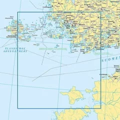
General map of the Archipelago Sea at a scale of 1:250,000 or 1:100,000. Intended for open sea sailing and route planning. Also suitable as a table.
- Area: Archipelago Sea / Skärgårdshavet
- Edition 2026 (27.05.2026)
- N2000
- Scale: 1:250,000
- Map sheet
- Size: 82 × 112 cm
- Appearance/binding: straight map sheet
- ISBN: 978-952-311-592-4
General map of the North Baltic Sea at a scale of 1:250,000 or 1:100,000. Intended for open sea sailing and route planning. Also suitable as a table.
- Area: Eastern North Baltic Sea
- Area: Norra Östersjön, östra delen
- Edition 2026 (27.05.2026)
- N2000
- Scale: 1:250,000
- Map sheet
- Size: 82 × 112 cm
- Appearance/binding: straight map sheet
- ISBN: 978-952-311-593-4


