Nautical Charts and Literature
Nautical charts and lake charts in paper and electronic form. Comprehensive map series from Finland and other Nordic countries. Individual map sheets as general and coastal maps.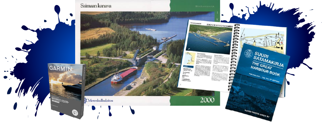
Tuoteryhmät
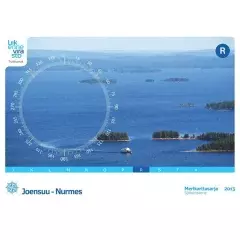
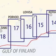
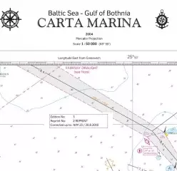
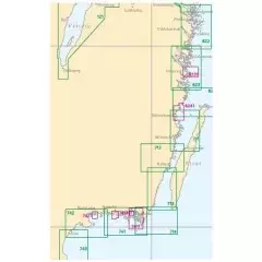
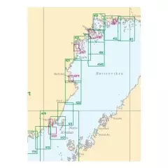
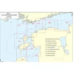
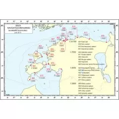
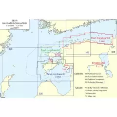
A paper nautical chart is a physical printed map that contains a detailed graphical representation of the features and navigational information of the sea or other waters. It is usually made of paper or a similar material that is durable and waterproof.
Paper nautical charts usually have a scale that indicates the map's relationship to the actual terrain or body of water. They can cover large areas, such as oceans or seashores, or they can focus on a smaller area, such as harbor areas or waterways.
Nautical charts contain a wealth of information, such as depth contours, coastlines, harbors, navigational marks, dangerous areas, waterway locations, and other navigational information. They may also include information on currents, tides, ocean currents, and other factors important to navigation.
Paper nautical charts are a traditional and still used navigation tool on the water. They are reliable, easy to read and can be used without electricity or other technical devices. Mariners, boaters and others who travel on the water use paper nautical charts to navigate safely and plan routes on the water.
However, it should be noted that modern electronic navigation systems and map applications have become more common and provide more accurate and real-time information.