Garmin Bluechart g3 HXEU055R map card, Finnish lakes
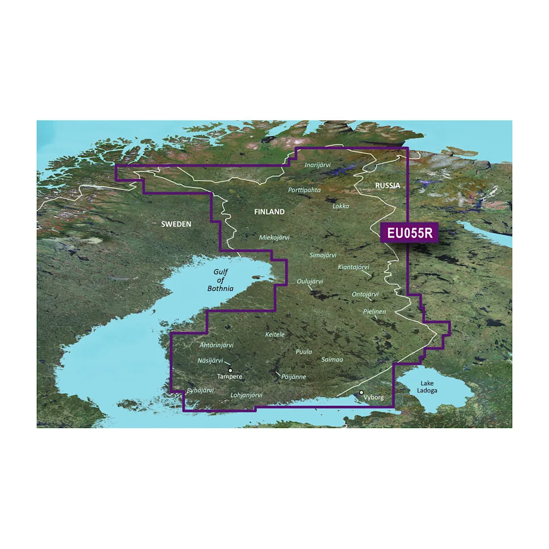
- Finnish lakes
- Area: HXEU055R
- Comprehensive and detailed map data of Finnish lakes
- Garmin and Navionics content combined
- Automatic guidance for route planning
- Depth of field shading (up to 10 levels)
- Shallow water shading for safer navigation
- Bottom contours with an accuracy of up to 30 cm
- Support for NOAA raster charts (with ActiveCaptain app)
Note: Auto Guidance is intended for route planning purposes only and is not a substitute for safe navigation. This feature is not included with the BlueChart g3 charts preloaded on the ECHOMAP™ Plus series.
Garmin BlueChart g3 HXEU055R offers the most comprehensive and accurate maps of Finnish lake areas on the market. The maps combine Garmin and Navionics data, ensuring a clear, detailed and reliable navigation experience for boaters and fishermen alike.
The map card uses automatic guidance technology that calculates route suggestions based on the depth and underpass values ??you select. You can see the suggested route directly on the map, making route planning and navigation easier, especially in challenging waters.
BlueChart g3 charts feature accurate depth contours and contour lines with up to 12 in (30 cm) resolution. This provides excellent visibility of fishing grounds, canals, shallows, and marinas, among other areas. Plus, depth range shading (up to 10 levels) and shallow water shading help you quickly and clearly identify safe routes.
Through the ActiveCaptain app, you can download free NOAA raster charts that provide a traditional paper chart-like view in compatible areas.
Tuotenr: 010-C0791-20
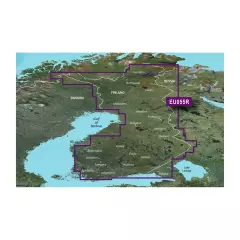
Suosittelemme sinulle


