Garmin Navionics+ NSEU077R Chart, Denmark and Germany North
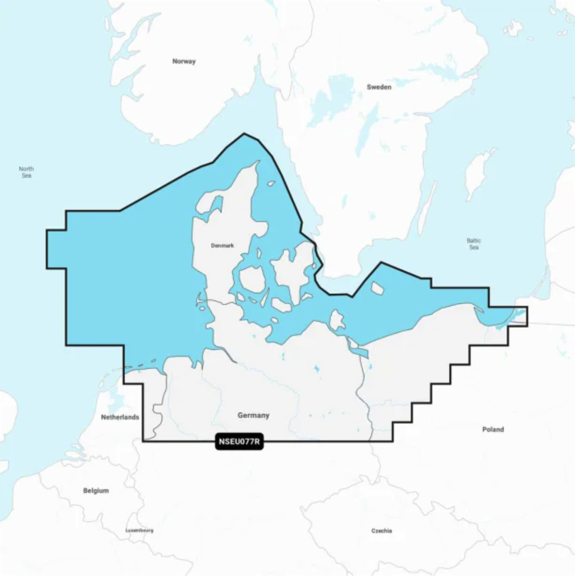
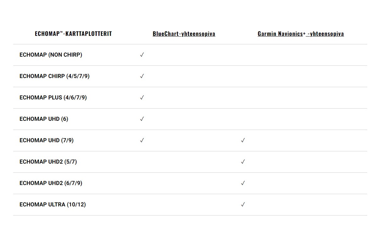
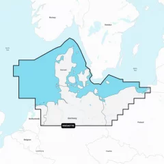

Chart Card EU077R. Garmin Navionics+ charts feature vibrant colors, a streamlined interface, combined coastal/inland content, and the popular Navionics®-style color palette, allowing you to easily plan your route with the most popular marine chart provider on the market.
Garmin Navionics+ NSEU077R
Detailed information on the North Sea and Baltic Sea coasts in Germany and Denmark. The information covers the Kiel Canal, Oderinhaff, Elbe, Kattegat and Bornholm as well as the ports of Hamburg (Germany) and Copenhagen (Denmark).
You can access the map material here .
Check map compatibility here or with customer service.
Comprehensive mapping solution for Garmin chartplotters
Get detailed maps that include coastlines, lakes, rivers, and more. Integrated Garmin and Navionics content helps boaters worldwide.
Daily map updates
The maps are constantly updated with new and changed content, with up to 5,000 updates per day. With the included one-year subscription, you get daily map updates via the ActiveCaptain app on your smart devices.
Auto guidance+ technology
Built-in Auto Guidance+ technology2 combines the best of Garmin and Navionics automatic routing features to suggest a route between marinas, including through canals, straits and marina entrances.
Depth of field shading
With precise depth range shading, you can select up to 10 color shading options and view defined target depths at a glance.
Curves up to 0.5m apart
The curves, drawn at intervals of up to 0.5 meters, make both fishing and navigation easier, showing the bottom contours clearly and in detail, for example in marshes, canals, harbors and marinas.
Shallow water shading
This function allows the user to define the depth of shading and thus avoid shallow water areas.
Active captain community
Community-contributed content provides useful points of interest, such as marinas, anchorages, obstacles, and businesses. Get recommendations from people with first-hand experience of the local environment.
Tuotenr: 14402
Valmistajan tuotenr: 010-C1243-20
Suosittelemme sinulle


