Garmin Navionics+ NSEU078R Chart, Oslo, Skagerrak and Haugesund
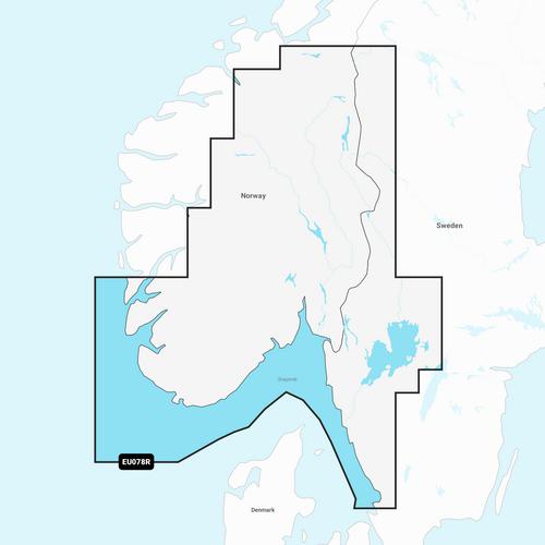


Garmin Navionics+ NSEU078R
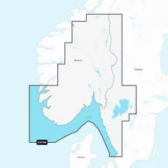
Detailed information on the Norwegian and Swedish coast from Haugesund to Halmstad, including the Boknafjorden, Oslofjorden and the Skagerrak area. Also included are inland waters — including lakes Mjøsa, Bandak, Kviteseidvatnet, Flåvatn, Norsjø and Heddalsvatnet, and canals such as the Telemark Canal. Ports and destinations include Stavanger and Oslo (Norway), as well as Gothenburg (Sweden).
You can access the map material here .
Check map compatibility here or with customer service.
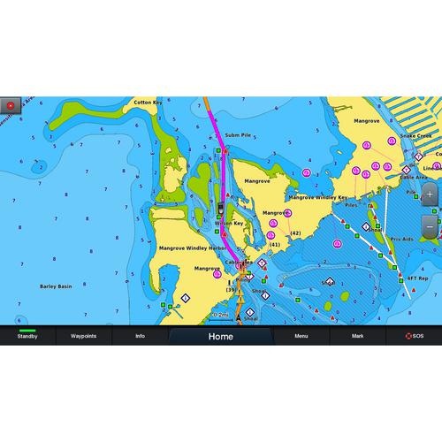
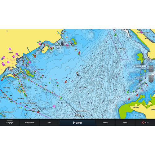
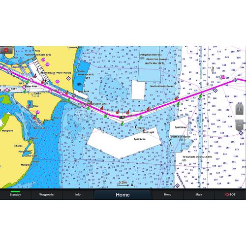
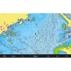
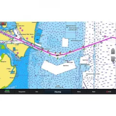
Garmin Navionics+ – digital marine charts
Garmin Navionics+ provides comprehensive, up-to-date maps for coastal areas, lakes and other bodies of water. These maps make navigation clearer and safer. They include accurate depth contours, detailed updates and high-quality visuals to help you navigate the water with ease.
Safe and easy routing
Daily map updates
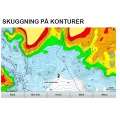
Clear depth perception
Accurate base maps
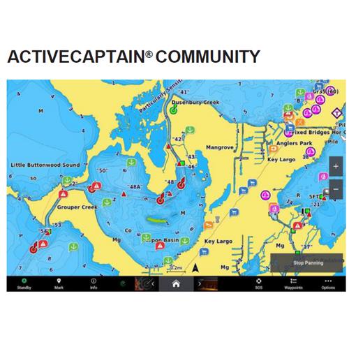
Community tips
Content and coverage
Tuotenr: 14403
Valmistajan tuotenr: 010-C1244-20
Tilaa saapumisilmoitus sähköpostiisi, niin saat heti tiedon kun tuotetta on jälleen saatavilla.
Garmin Navionics+ NSEU078R
Detailed information on the Norwegian and Swedish coast from Haugesund to Halmstad, including the Boknafjorden, Oslofjorden and the Skagerrak area. Also included are inland waters — including lakes Mjøsa, Bandak, Kviteseidvatnet, Flåvatn, Norsjø and Heddalsvatnet, and canals such as the Telemark Canal. Ports and destinations include Stavanger and Oslo (Norway), as well as Gothenburg (Sweden).
You can access the map material here .
Check map compatibility here or with customer service.
Garmin Navionics+ – digital marine charts
Garmin Navionics+ provides comprehensive, up-to-date maps for coastal areas, lakes and other bodies of water. These maps make navigation clearer and safer. They include accurate depth contours, detailed updates and high-quality visuals to help you navigate the water with ease.
Safe and easy routing
Daily map updates
Clear depth perception
Accurate base maps
Community tips
Content and coverage
Tuotenr: 14403
Valmistajan tuotenr: 010-C1244-20

Suosittelemme sinulle


