Garmin Navionics Vision+ NVEU055R Chart, Finnish Lakes
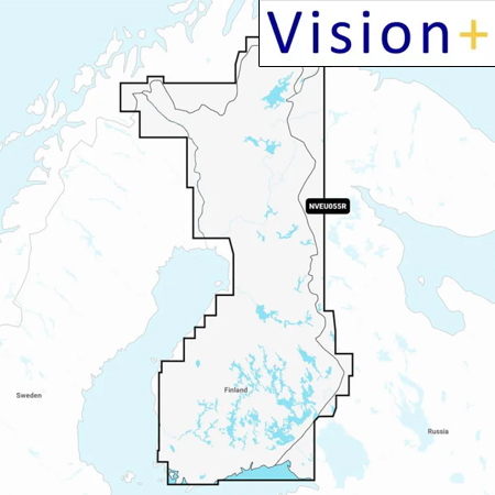
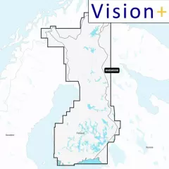
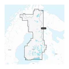
Garmin Navionics Vision+ NVEU055R
Detailed information on Finnish lakes, including Inarijärvi, Miekojärvi, Simojärvi and Kiantajärvi. Also includes detailed information on Oulujärvi, Pielinen, Saimaa, Päijänne, Näsijärvi, Lohjanjärvi, Nuorajärvi, Kilpisjärvi and other lakes.
You can access the map material here .
Check map compatibility here or with customer service.
Vision+ additional features
Relief shading — better representation of the shape of the seabed and coastline, not just curves.
High-resolution satellite and aerial imagery of coastal areas and terrain — makes it easier to identify landmarks, ports, bridges, and other objects.
3D views: including 3D “fish-eye / marinereye” projection of underwater depths, where you can see the shapes of the bottom realistically.
Aerial photos / aerial photos of ports & port surroundings — makes it easier to land and visualize ports: harbors, piers, bridges, etc.
Ease of use and clearer visual appearance — colors, shading, and different view layers make reading the map more intuitive.
Comprehensive mapping solution for Garmin chartplotters
Get detailed maps that include coastlines, lakes, rivers, and more. Integrated Garmin and Navionics content helps boaters worldwide.
Daily map updates
The maps are constantly updated with new and changed content, with up to 5,000 updates per day. With the included one-year subscription, you get daily map updates via the ActiveCaptain app on your smart devices.
Auto guidance+ technology
Built-in Auto Guidance+ technology2 combines the best of Garmin and Navionics automatic routing features to suggest a route between marinas, including through canals, straits and marina entrances. Depth of field shading
With precise depth range shading, you can select up to 10 color shading options and view defined target depths at a glance.Curves up to 0.5m apart
The curves, drawn at intervals of up to 0.5 meters, make both fishing and navigation easier, showing the bottom contours clearly and in detail, for example in marshes, canals, harbors and marinas.Shallow water shading
This function allows the user to define the depth of shading and thus avoid shallow water areas.Active captain community
Community-contributed content provides useful points of interest, such as marinas, anchorages, obstacles, and businesses. Get recommendations from people with first-hand experience of the local environment.Tuotenr: 010-C1254-00
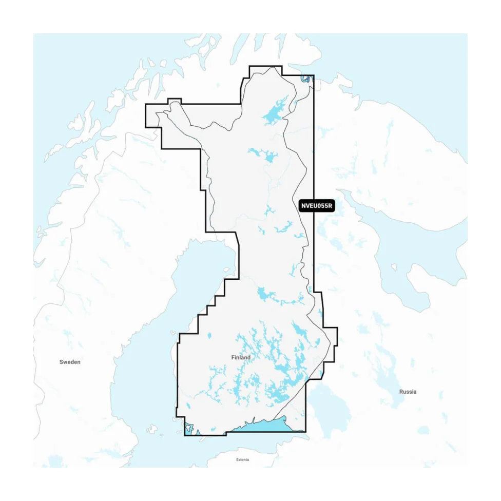
Suosittelemme sinulle


