Tuoteryhmät
Inland Water Chart Series L, Lappeenranta-Savonlinna (2025)
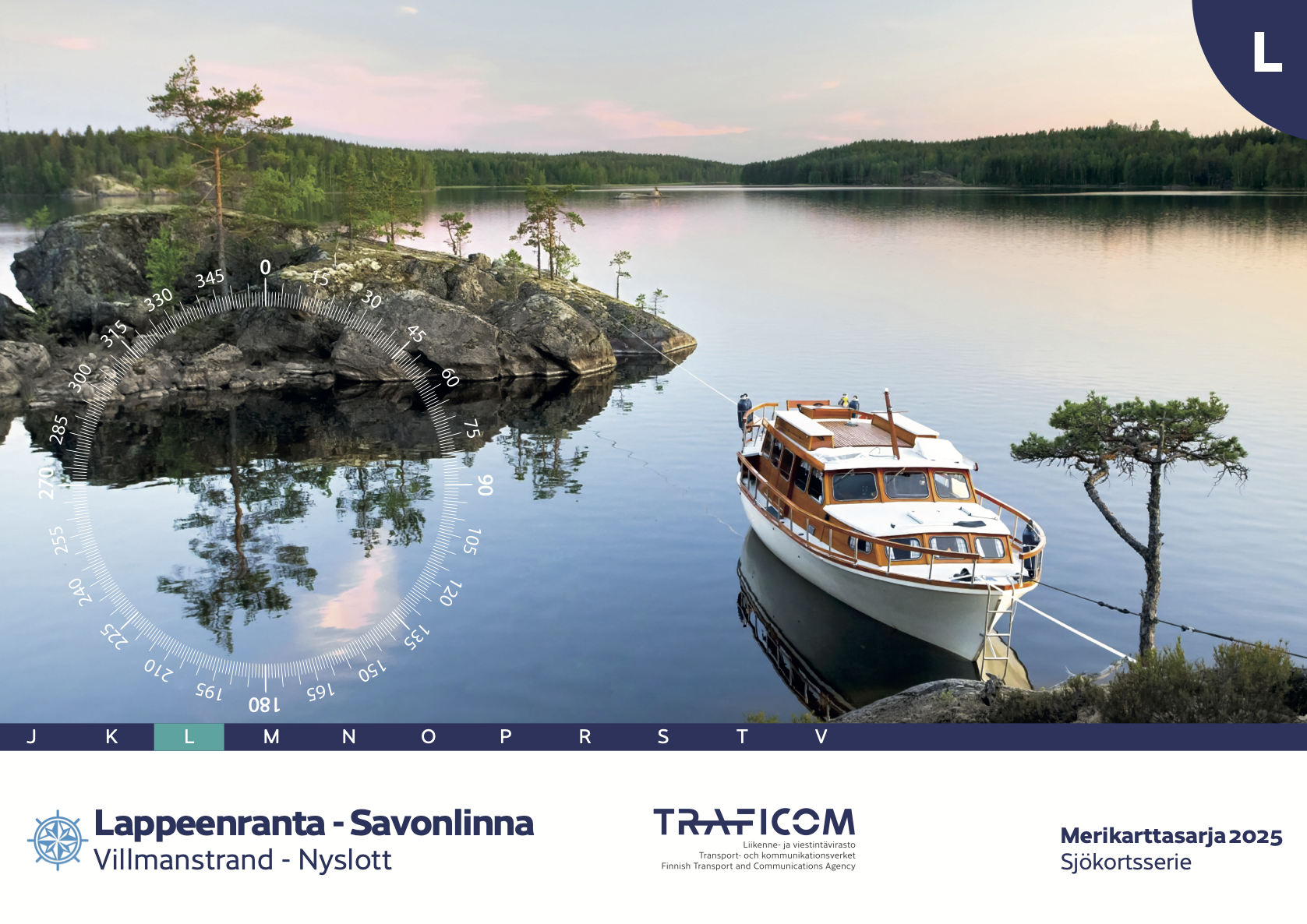
- Map series: L
- Area: Savonlinna - Lappeenranta / Villmanstrand-Nyslott
- Altitude system: N2000
- Scale: 1:40000, 1:20000
- Edition: 2025 (20.8.2025)
- Size: 59 x 42cm
- Publisher: Finnish Transport Agency (traficom)
- ISBN 978-952-311-573-6
- Languages: Finnish, Swedish, English
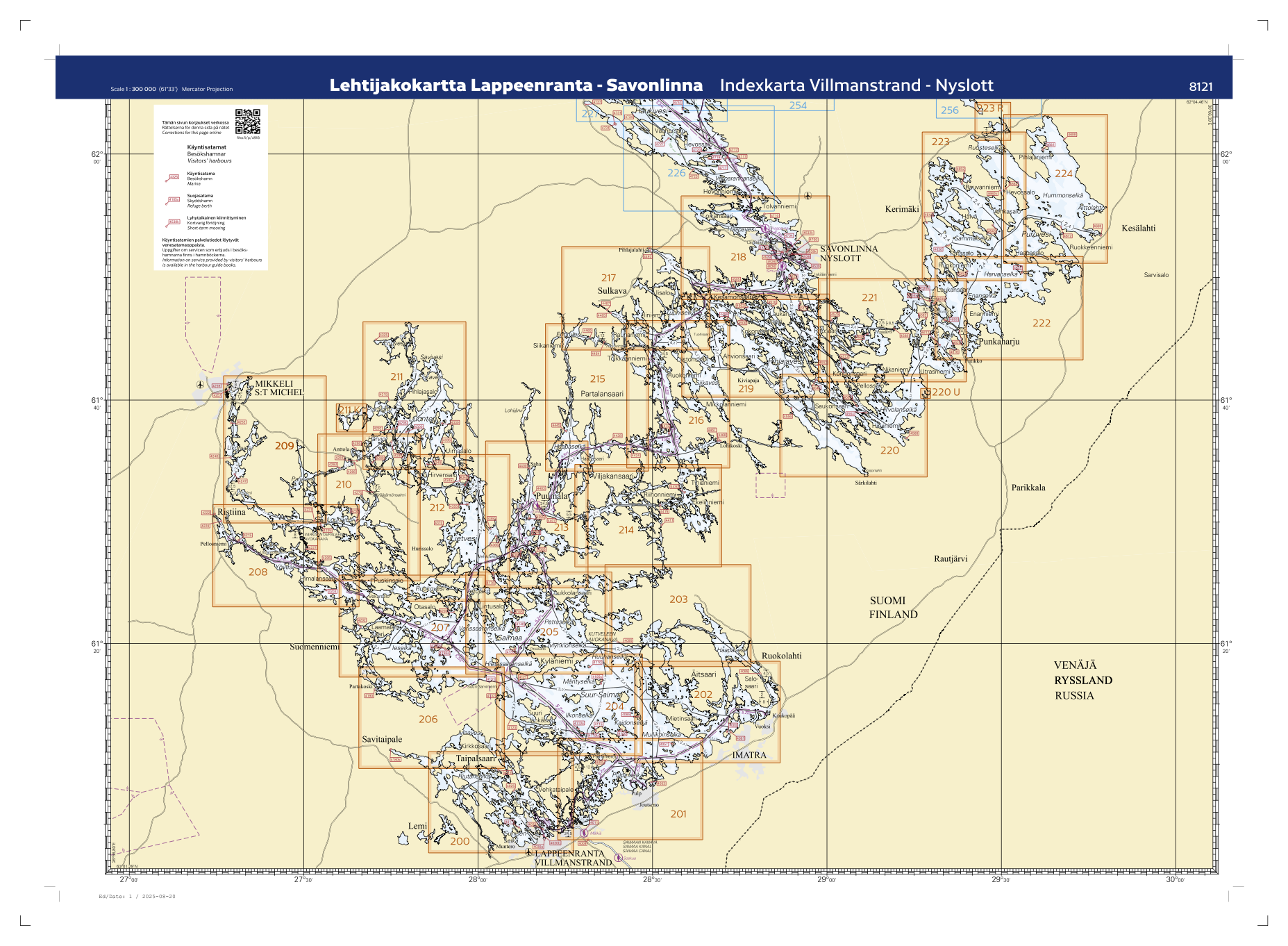
The new N2000 Marine Chart Series L, Lappeenranta - Savonlinna is now available. Extensive new sea surveys have been made in the area of ??the chart series. The chart series also contains many
other updated information, such as changed fairways and safety devices, cables and rock sightings, and updated marina information. The chart series also features a new nautical chart symbol, "difficult navigation area." A black dotted line warns of very rocky areas where navigation requires special caution.
The water level data in the map series is presented in the N2000 elevation system, so water level data based on it should be used for navigation. Up-to-date water levels for inland waters can be found in the water level service maintained by the Finnish Environment Institute.
Tuotenr: FBL-2025
Valmistajan tuotenr: 978-952-311-573-6
54,00 €
Yhteensä sis. alv 13.5%
Helsinki LauttasaariAvailablehyllypaikka: 1
Vantaa PorttipuistoAvailable
VerkkokauppaAvailabledelivery time 1 - 3 working days
Toimituksen hinta: 5,90 €Matkahuolto's Near Parcel
- Map series: L
- Area: Savonlinna - Lappeenranta / Villmanstrand-Nyslott
- Altitude system: N2000
- Scale: 1:40000, 1:20000
- Edition: 2025 (20.8.2025)
- Size: 59 x 42cm
- Publisher: Finnish Transport Agency (traficom)
- ISBN 978-952-311-573-6
- Languages: Finnish, Swedish, English
The new N2000 Marine Chart Series L, Lappeenranta - Savonlinna is now available. Extensive new sea surveys have been made in the area of ??the chart series. The chart series also contains many
other updated information, such as changed fairways and safety devices, cables and rock sightings, and updated marina information. The chart series also features a new nautical chart symbol, "difficult navigation area." A black dotted line warns of very rocky areas where navigation requires special caution.
The water level data in the map series is presented in the N2000 elevation system, so water level data based on it should be used for navigation. Up-to-date water levels for inland waters can be found in the water level service maintained by the Finnish Environment Institute.
Tuotenr: FBL-2025
Valmistajan tuotenr: 978-952-311-573-6
Suosittelemme sinulle
Maksutavat


