Inland Water Chart Series N, Tampere-Virrat
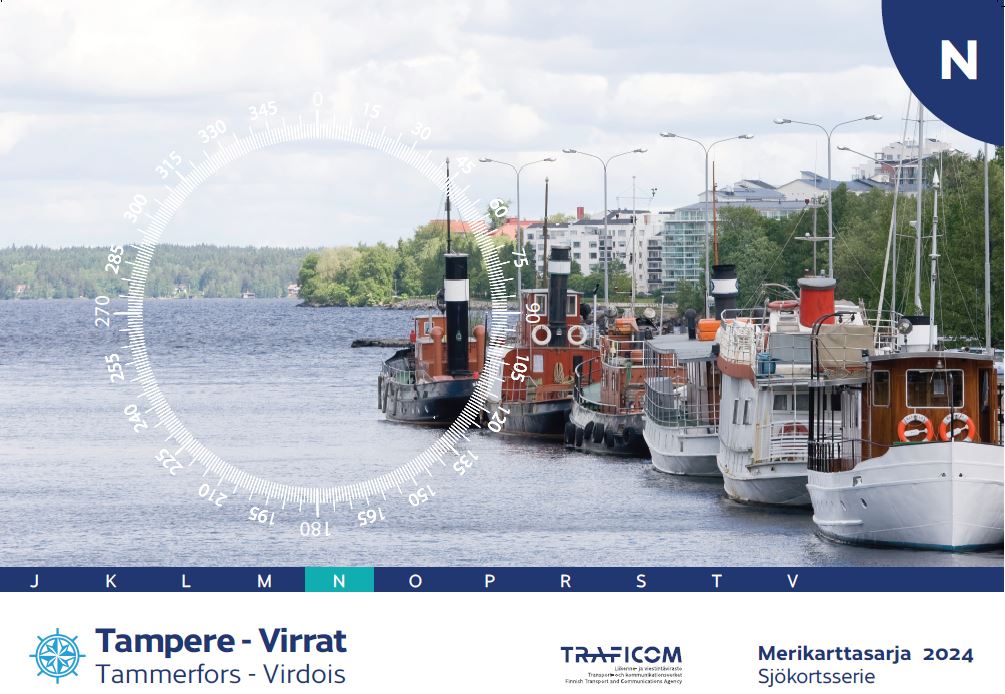
- Map series N
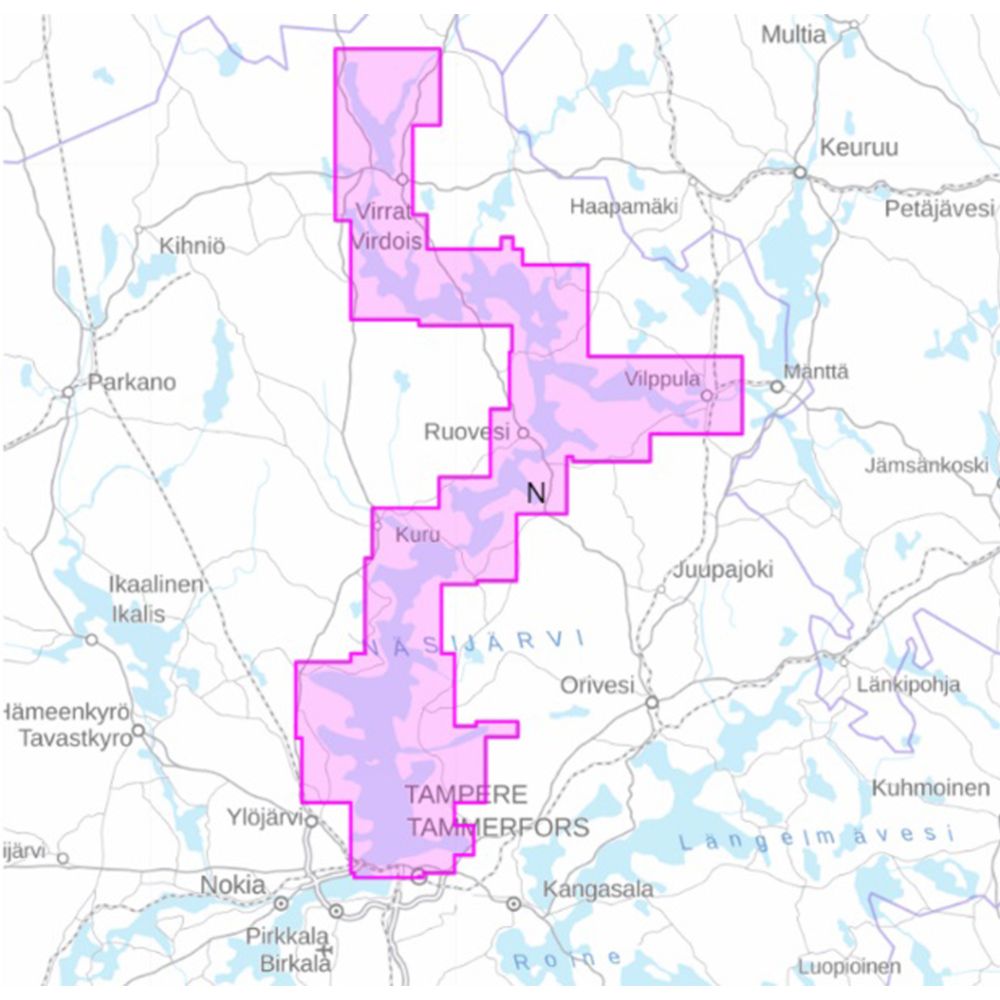
- Tampere-Virrat area
- Scale: 1:30,000
- Size: 49 × 36 cm
- Appearance/binding: wire-bound
- Series: Inland Water Chart Series
- Library class: 69.6302
- Publisher: Traficom
- Language: Finnish, English, German
- Year of publication: 2024
The Finnish Transport Agency's lake area nautical chart series are intended for all types of boating. In addition to the normal map pages, the chart series contain a large number of special charts that facilitate navigation in certain difficult-to-navigate areas. The chart series are spiral-bound atlases, and they are packed in a plastic pocket. The coordinate system of the atlas is EUREF - FIN (WGS84).
Tuotenr: FBN-2024
- Map series N
- Tampere-Virrat area
- Scale: 1:30,000
- Size: 49 × 36 cm
- Appearance/binding: wire-bound
- Series: Inland Water Chart Series
- Library class: 69.6302
- Publisher: Traficom
- Language: Finnish, English, German
- Year of publication: 2024
The Finnish Transport Agency's lake area nautical chart series are intended for all types of boating. In addition to the normal map pages, the chart series contain a large number of special charts that facilitate navigation in certain difficult-to-navigate areas. The chart series are spiral-bound atlases, and they are packed in a plastic pocket. The coordinate system of the atlas is EUREF - FIN (WGS84).
Tuotenr: FBN-2024
Suosittelemme sinulle


