Tuoteryhmät
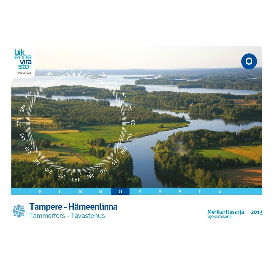
Inland Water Chart Series O, Tampere-Hämeenlinna (2013)


Scale: 1:30,000
Size: 46 × 34 cm
Number of pages: 32
Appearance/binding: wire-bound
Series: Inland Water Chart Series
Library class: 69.6302
ISBN : 978-952-266-101-2
EAN : 9789522661012
ID: F203000
Publisher: Karttakeskus
Language: Finnish, English, German
Year of publication: 2013
Size: 46 × 34 cm
Number of pages: 32
Appearance/binding: wire-bound
Series: Inland Water Chart Series
Library class: 69.6302
ISBN : 978-952-266-101-2
EAN : 9789522661012
ID: F203000
Publisher: Karttakeskus
Language: Finnish, English, German
Year of publication: 2013
The Marine Chart Series published by the Finnish Transport Agency is suitable for archipelago and coastal navigation due to its scale and accuracy. The Marine Chart Series provides information on, among other things, the locations of fairways and signs, underwater reefs and cables, and depth information. The Marine Chart Series is a spiral-bound map sheet that is packaged in a plastic pocket.
The lake area nautical chart series O Tampere-Hämeenlinna is published for the first time in blue. The series has been completely revised, and is now published for the first time with international map symbols and the WGS 84 ( EUREF - FIN ) coordinate system.
The series, which was last published in 2004, covers the route from Tampere via Pirkkala, Lempäälä, Viiala and Valkeakoski to Hämeenlinna – one of the most beautiful waterways in Finland. The depth data on the map has been updated so that 6-meter deeper depth curves have been added to sheets 521-529 and rock information has been updated. The terrain data has been renewed throughout the series.
The chart sheets of the nautical chart series have been supplemented with detailed special charts to ensure safe boating near harbors and narrows. The scale of the O series is 1:30,000 (1 cm on the map = 300 m).
- Size 46 × 34 cm. 34 sts, thread bound
- Library class 69.6302
Tuotenr: FBO
42,00 €
Yhteensä sis. alv 13.5%
Helsinki LauttasaariAvailablehyllypaikka: 1
Vantaa PorttipuistoAvailable
VerkkokauppaAvailabledelivery time 1 - 3 working days
Toimituksen hinta: 5,90 €Matkahuolto's Near Parcel
Scale: 1:30,000
Size: 46 × 34 cm
Number of pages: 32
Appearance/binding: wire-bound
Series: Inland Water Chart Series
Library class: 69.6302
ISBN : 978-952-266-101-2
EAN : 9789522661012
ID: F203000
Publisher: Karttakeskus
Language: Finnish, English, German
Year of publication: 2013
Size: 46 × 34 cm
Number of pages: 32
Appearance/binding: wire-bound
Series: Inland Water Chart Series
Library class: 69.6302
ISBN : 978-952-266-101-2
EAN : 9789522661012
ID: F203000
Publisher: Karttakeskus
Language: Finnish, English, German
Year of publication: 2013
The Marine Chart Series published by the Finnish Transport Agency is suitable for archipelago and coastal navigation due to its scale and accuracy. The Marine Chart Series provides information on, among other things, the locations of fairways and signs, underwater reefs and cables, and depth information. The Marine Chart Series is a spiral-bound map sheet that is packaged in a plastic pocket.
The lake area nautical chart series O Tampere-Hämeenlinna is published for the first time in blue. The series has been completely revised, and is now published for the first time with international map symbols and the WGS 84 ( EUREF - FIN ) coordinate system.
The series, which was last published in 2004, covers the route from Tampere via Pirkkala, Lempäälä, Viiala and Valkeakoski to Hämeenlinna – one of the most beautiful waterways in Finland. The depth data on the map has been updated so that 6-meter deeper depth curves have been added to sheets 521-529 and rock information has been updated. The terrain data has been renewed throughout the series.
The chart sheets of the nautical chart series have been supplemented with detailed special charts to ensure safe boating near harbors and narrows. The scale of the O series is 1:30,000 (1 cm on the map = 300 m).
- Size 46 × 34 cm. 34 sts, thread bound
- Library class 69.6302
The lake area nautical chart series O Tampere-Hämeenlinna is published for the first time in blue. The series has been completely revised, and is now published for the first time with international map symbols and the WGS 84 ( EUREF - FIN ) coordinate system.
The series, which was last published in 2004, covers the route from Tampere via Pirkkala, Lempäälä, Viiala and Valkeakoski to Hämeenlinna – one of the most beautiful waterways in Finland. The depth data on the map has been updated so that 6-meter deeper depth curves have been added to sheets 521-529 and rock information has been updated. The terrain data has been renewed throughout the series.
The chart sheets of the nautical chart series have been supplemented with detailed special charts to ensure safe boating near harbors and narrows. The scale of the O series is 1:30,000 (1 cm on the map = 300 m).
- Size 46 × 34 cm. 34 sts, thread bound
- Library class 69.6302
Tuotenr: FBO
Suosittelemme sinulle
Maksutavat


