Mini-archipelago route book (2026)
- Western Gulf of Finland and Archipelago Sea
- In Finnish, Swedish and English
- 80 special maps
- 20 detailed maps
- Indicative depth contours drawn on special charts
- Additionally, thousands of stones are marked
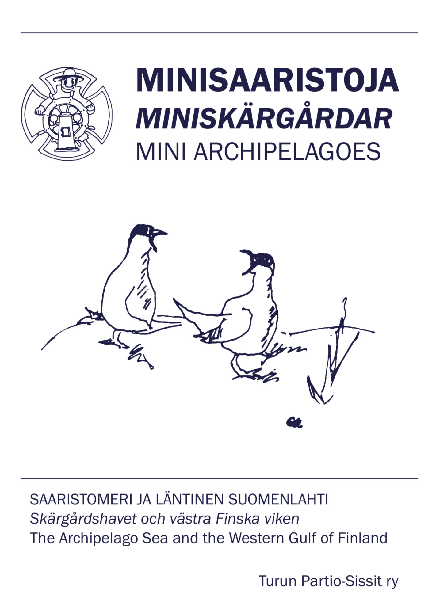
The Mini Archipelagos book contains 80 special maps and 20 detailed maps of the Archipelago Sea and the western Gulf of Finland. There are sites in the area where the main depth information on the nautical chart is outside the 10-meter depth curve or is missing altogether. The special maps have been drawn with the help of aerial photographs to provide indicative depth curves. In addition, they contain thousands of rocks.
Tuotenr: SS5009
- Western Gulf of Finland and Archipelago Sea
- In Finnish, Swedish and English
- 80 special maps
- 20 detailed maps
- Indicative depth contours drawn on special charts
- Additionally, thousands of stones are marked
The Mini Archipelagos book contains 80 special maps and 20 detailed maps of the Archipelago Sea and the western Gulf of Finland. There are sites in the area where the main depth information on the nautical chart is outside the 10-meter depth curve or is missing altogether. The special maps have been drawn with the help of aerial photographs to provide indicative depth curves. In addition, they contain thousands of rocks.
Tuotenr: SS5009
Suosittelemme sinulle


