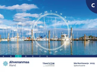
Nautical Chart Series C Åland Islands (2025)

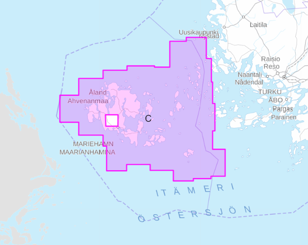
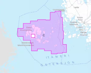
- Region: Åland Islands
- Release year: 2025
- Corrected: 30.4.2024
- Scale: 1:50,000
- Size: 46 × 34 cm
- Type: series
- Publisher: Traficom
- Languages: FI, SE, EN
NEW 2025 EDITION! Extensive new oceanographic surveys have been carried out in the sea area. The new chart series also feature a new nautical chart symbol, 'area of ??difficult navigation'. The black dotted line warns of very rocky areas where navigation requires special caution.
The new chart series excludes chart sheets 714, 730–733, which cover the Kihti area. The N2000 update has not yet progressed to the area and the missing sheets will be published in conjunction with the D series, which is expected to be completed for the 2026 sailing season.
The nautical chart series published by the Finnish Transport Agency (traficom) are suitable for archipelago and coastal navigation due to their scale and accuracy. The nautical chart series shows, among other things, the locations of fairways and signs, underwater reefs and cables, and depth information. The nautical chart series is a spiral-bound chart sheet packed in a plastic pocket.
The chart sheets of the nautical chart series have been supplemented with detailed special charts to ensure safe boating near ports and narrows. The scale of the chart series is 1:50,000 (1 cm on the map = 500 m). The coordinate system of the charts is EUREF-FIN (WGS 84)
Depths on Finnish nautical charts are indicated in meters. In marine areas, depths are indicated from mean water level, and in inland waters from a level marked separately on each chart, which usually corresponds to the low water level of the water area in question.
Tuotenr: MKC-2025
Valmistajan tuotenr: 978-952-311-572-9
Suosittelemme sinulle


