Nautical chart series D Turku archipelago (2026)
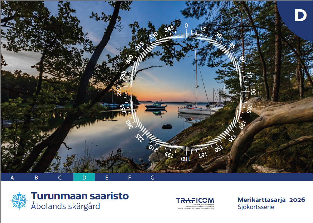
- Area: Turunmaa archipelago
- Release year: 2026
- Scale: 1:50,000
- Size: 46 × 34 cm
- Type: series
- Publisher: Traficom
- Languages: FI, SE, EN
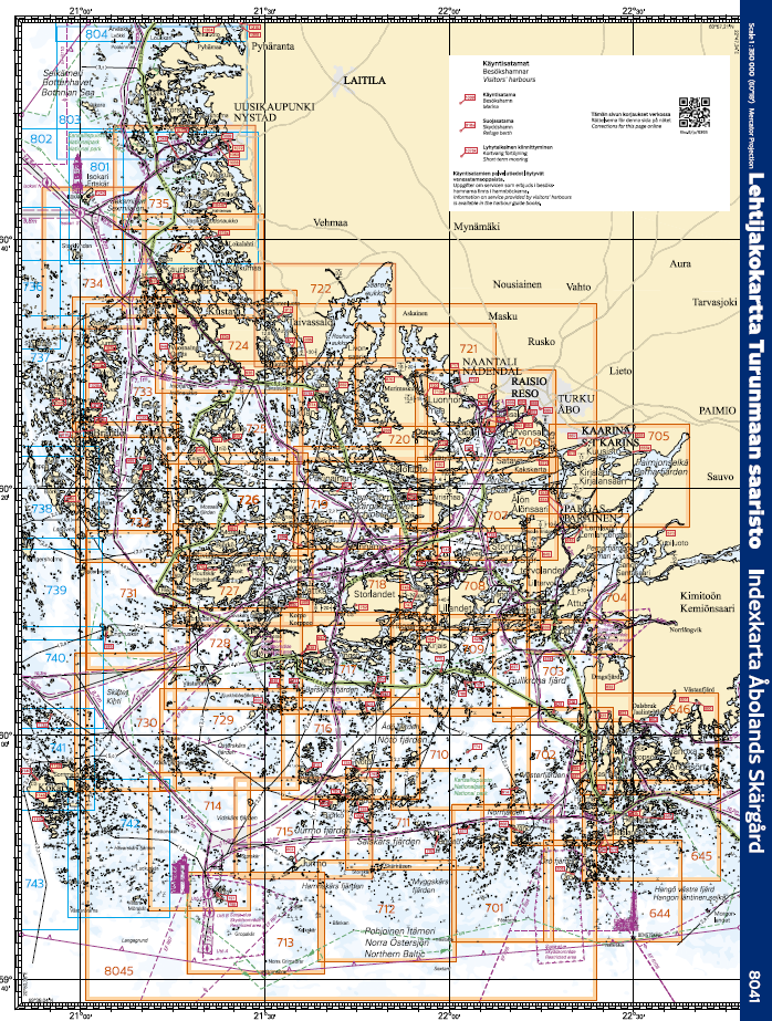
The nautical chart series published by the Finnish Transport Agency (traficom) are suitable for archipelago and coastal navigation due to their scale and accuracy. The nautical chart series shows, among other things, the locations of fairways and signs, underwater reefs and cables, and depth information. The nautical chart series is a spiral-bound chart sheet packed in a plastic pocket.
The chart sheets of the nautical chart series have been supplemented with detailed special charts to ensure safe boating near ports and narrows. The scale of the chart series is 1:50,000 (1 cm on the map = 500 m). The coordinate system of the charts is EUREF-FIN (WGS 84).
Depths on Finnish nautical charts are indicated in meters. In marine areas, depths are indicated according to the N2000 standard, and in inland waters, according to a level marked separately on each chart, which usually corresponds to the low water level of the water area in question.
Tuotenr: MKD-2026
- Area: Turunmaa archipelago
- Release year: 2026
- Scale: 1:50,000
- Size: 46 × 34 cm
- Type: series
- Publisher: Traficom
- Languages: FI, SE, EN
The nautical chart series published by the Finnish Transport Agency (traficom) are suitable for archipelago and coastal navigation due to their scale and accuracy. The nautical chart series shows, among other things, the locations of fairways and signs, underwater reefs and cables, and depth information. The nautical chart series is a spiral-bound chart sheet packed in a plastic pocket.
The chart sheets of the nautical chart series have been supplemented with detailed special charts to ensure safe boating near ports and narrows. The scale of the chart series is 1:50,000 (1 cm on the map = 500 m). The coordinate system of the charts is EUREF-FIN (WGS 84).
Depths on Finnish nautical charts are indicated in meters. In marine areas, depths are indicated according to the N2000 standard, and in inland waters, according to a level marked separately on each chart, which usually corresponds to the low water level of the water area in question.
Tuotenr: MKD-2026
Suosittelemme sinulle


