Boating literature
Boating literature helps you understand nautical symbols, nautical chart symbols, and keep a logbook on your boat. Learn nautical symbols easily!Boating literature -ryhmän tuotteet
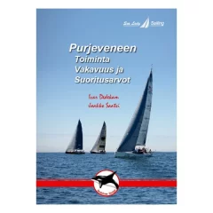
A thoroughly comprehensive work on the operation, stability and performance of a sailboat
The book is divided into four parts:
- Sailboat operation
- Boat structure
- Basics of sail operation
- Adjustments of mainsails, headsail and mainsail
- Different types of downwind sails and their use
- Sailboat stability and different hull shapes
- Sailboat performance values ??and their effect in different conditions
- Sulfur installation and adjustments
- Topic: Sailboat operation, stability and performance
- A clear and vividly illustrated book
- The book is divided into four parts:
- 144 pages and 250 illustrative images
- Wirebound softcover four-color edition
- Made on sturdy paper so it can withstand use on a boat.
- Language: Finnish
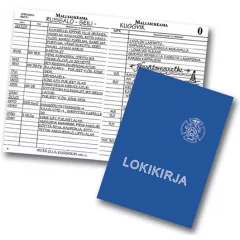
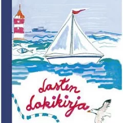
A popular and easy-to-read logbook. Text in Finnish only, includes detailed instructions for filling it out.
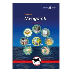
A Finnish-language, illustrated book on practical navigation skills for all boaters. A clear work that is suitable for reading by every boating enthusiast. The book is 95 pages long and has over 120 pictures. It is made of wire-bound, high-quality paper that is durable even in boating conditions. The book has been translated into Finnish by sailing instructor Jaakko Satsi from the Sea Lady Sailing sailing school. The author of the original work: Ivar Dedekam.
The book covers all common navigation methods:
- Traditional navigation
- Electronic navigation: GPS/plotter systems, radar and AIS system
- Basics of astronomical navigation
- Suitable for motorboaters and sailboaters
- Language: Finnish
The book covers all common navigation methods: Traditional navigation, electronic navigation: GPS/plotter systems, radar and AIS system, basics of astronomical navigation
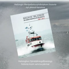
Snadi Blosis. Helsinki Sea Rescue Association 1961-2011.
The Helsinki Sea Rescue Association has published a fine 50-year history in practice with the help of talco forces in 2011. Both the Finnish and Swedish versions were published on 30.11.2011.
The book contains over 200 pages and has over 100 pictures from the association's activities. The book contains the history of the association compiled in one work as well as articles on, among other things, the history of rescue equipment, the history of the boats, their construction and names, and a test drive of the boats. The book honors the tireless and often anonymous work of the volunteer sea rescuers both at sea and on land.
- Language: Swedish
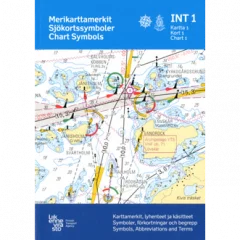
Map symbols, abbreviations and concepts. INT1.
- Paperback book
- 5th edition
- Published 2010
- Language: Finnish
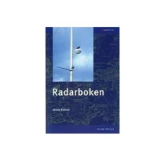
The Radar Book thoroughly describes how to use radar in recreational boats and smaller commercial vessels. The technical principles and use of radar equipment are explained in an accessible and educational way, but also all the important facts and lots of practical tips for radar users. The book covers the knowledge requirements for radar certificates for recreational boats and also the radar knowledge required for the ship's officer's certificate class VIII.
- Author: Jonas Ekblad
- Language: Swedish
- Language: Finnish
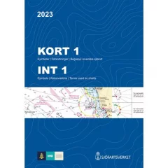
Kort 1 is a publication containing notations, abbreviations and concepts used in both Swedish and international nautical charts (INT charts).
Kort 1 is a publication that contains symbols, abbreviations and concepts that are used in both Swedish and International nautical charts (INT-kort)
- Markings
- Abbreviations
- Concepts
- Language: Swedish
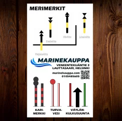
A nautical marker sticker that allows you to check your direction of travel relative to the signs.
- Sea signs
- Width 70mm
- Height 120mm
- Adhesive backing
- White background
- Price/piece
- Size 230x297mm
- Language : Finnish
- 48 pages
Information package for everyone who moves on the lake!
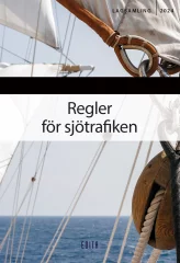
The Maritime Traffic Regulations collection contains all essential regulations, regulations that specify the legislation, the most important contact information needed in maritime traffic, and other useful information for boaters, such as a list of septic tank suction and emptying points.
The only book on the market that contains comprehensive maritime traffic regulations offers a comprehensive overview of legislation for everyone who moves on the sea. In addition to the Maritime Traffic Act, the book contains maritime traffic regulations and the regulations in the Maritime Act, the Criminal Code, the Water Act and the Fisheries Act that apply to maritime traffic. In addition, the collection contains several regulations from the Finnish Transport and Communications Agency Traficom, which specify the legislation.
Several statutes, including the Fisheries Act, have been amended from the previous year, which has been taken into account in the book.
- Edition: 2024
- Several statutes, including the Fisheries Act, have been amended from the previous year, which has been taken into account in the book.
- Language: Swedish


