General and Coastal Maps of Sweden
Large Swedish coastal and general atlases.General and Coastal Maps of Sweden -ryhmän tuotteet
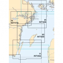
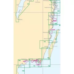
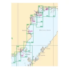
Swedish Sjöfartsverket general map from the northern part of Gotland to Landsort.
- Scale: 1:250,000
- Edition: 2024

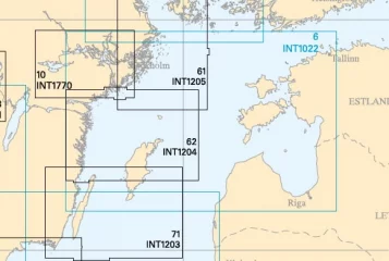
See a more detailed map demarcation on the Finnish Maritime Administration's virtual Se på Sjökort service. by clicking here
- Scale: 1 : 500000
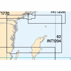
Swedish Sjöfartsverket general map from Landsort to the Sea of ??Åland
See a more detailed map demarcation on the Finnish Maritime Administration's virtual Se på Sjökort service. by clicking here
- 1: 250 000
See the map's more detailed area demarcation on the Finnish Maritime Administration's virtual Se på Sjökort service.
- Scale: 1 : 500000

Archipelago charts cover the entire Swedish coast and are used for navigation in inland waters and coastal waters. The scale is usually 1:50,000. Archipelago charts may include detailed areas of harbours and narrow channels, which are presented at a larger scale, 1:5000–1:25,000. Information has been reduced in areas of the map where archipelago charts are replaced by special charts.
- Area: Malören-Seskarö-Haparanda
- International number: INT 1789
- Scale: 1:50000
- Release: April 2024
Map of the Öland Södra Udde-Utlänga archipelago.
- Swedish archipelago map
- Region Ölands Södra Udde-Utlängan
- 1:50,000
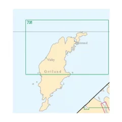
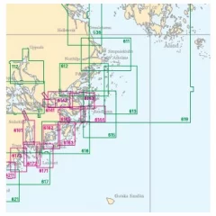
Northern Gotland. Also includes a map of Visby harbor.
- Swedish archipelago map
- Area North Gotland (Also Visby harbor map)
- 1:120,000
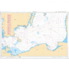
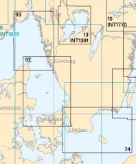
General map of Sweden, southern Baltic Sea.
Map of the Högbonden-Örnsköldsvik-Skag archipelago.
- Swedish archipelago map
- Area Högbonden-Örnsköldsvik-Skag
- 1:50,000

Archipelago charts cover the entire Swedish coast and are used for navigation in inland waters and coastal waters. The scale is usually 1:50,000. Archipelago charts may include detailed areas of harbours and narrow channels, which are presented at a larger scale, 1:5000–1:25,000. Information has been reduced in areas of the map where archipelago charts are replaced by special charts.
- Area: Estersön-Karlsborg-Malören
- International number: INT 1788
- Scale: 1:50000
- Release: April 2022
Arholma - Furusund archipelago map.
- Swedish archipelago map
- Area Arholma - Furusund
- 1:50,000
See a more detailed map demarcation on the Finnish Maritime Administration's virtual Se på Sjökort service. by clicking here

- 1:250 000
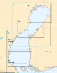
Swedish Sjöfartsverket general map of the southern part of the Bay of Bothnia.
- Scale: 1:250,000
- Edition: 2023
- 1: 250 000
Archipelago charts cover the entire Swedish coast and are used for navigation in inland waters and coastal waters. The scale is usually 1:50,000. Archipelago charts may include detailed areas of harbours and narrow channels, which are presented at a larger scale, 1:5000–1:25,000. Information has been reduced in areas of the map where archipelago charts are replaced by special charts.
- Area: Hindersöharun - Töre
- International number: INT 1787
- Scale: 1:50000
- Release: May 2022

Lövgrunds rabbar - Söderhamn-Hälli archipelago map.
- Swedish archipelago map
- Area Lövgrunds Rabbar – Söderhamn – Hällgrund
- 1:50,000
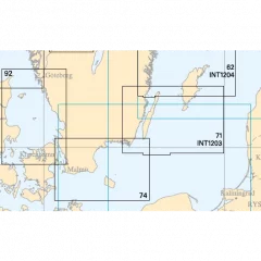
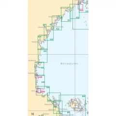
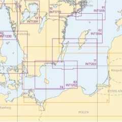
Swedish Sjöfartsverket general map from Helsingborg to the southern tip of Öland.
- 1:250,000
- Edition 2021
- 1:25 000


