Swedish Archipelago Maps
Large Swedish archipelago map sheets.Tuoteryhmät
Swedish Archipelago Maps -ryhmän tuotteet

Swedish archipelago map from Vexholm.
- 6142 INT 1240
- Swedish archipelago map
- Area Vaxholm
- 1:12 500
- August 2018

Harnön - Kramfors
- Swedish archipelago map
- Area Härnön - Kramfors
- 1:50,000

Outlet
Borgholm - Kalmar archipelago map.
- Swedish archipelago map
- Borgholm - Kalmar area
- 1:50,000

Kampanja
Outlet
Landsort special map.
- 1:25 000
Outlet
Swedish archipelago map.
- 6141 INT 1239
- Swedish archipelago map
- Area Port of Stockholm
- 1:12 500
- November 2017
Outlet
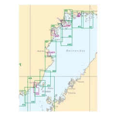
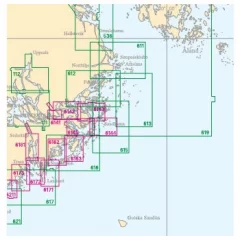
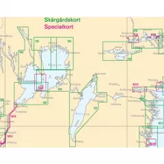
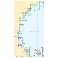
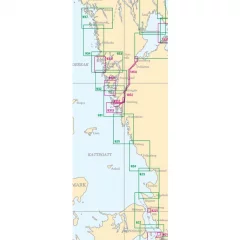
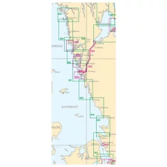
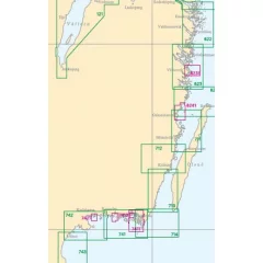
Archipelago charts cover the entire Swedish coast and are used for navigation in inland waters and coastal waters. The scale is usually 1:50,000. Archipelago charts may include detailed areas of harbours and narrow channels, which are presented at a larger scale, 1:5000–1:25,000. Information has been reduced in areas of the map where archipelago charts are replaced by special charts.
- Area: Germandön - Luleå - Estersön
- International number: INT 1179
- Scale: 1:50000
- Release: March 2024
Outlet
Swedish archipelago map
- Area Härnön - Brämön
- 1:50,000
Outlet
- Swedish archipelago map
- Region Öresund - Southern part / Öresund southern part
- 1:60,000

Outlet
Outlet
- Swedish archipelago map
- Area Tistlarna - Varberg
- 1:50,000

Outlet
Special map of Nynäshamn.
- 1:25 000

Outlet
Special map of Tvären.
- 1:25 000

Outlet
Special map of Södertälje.
- 1:25 000
- 2024

Outlet
Brofjorden special map.
- Maps show difficult and busy areas – guiding you along the most popular routes
- Made of paper – gives a classic and rustic look
- The map is plano-shaped – no worn folds
- Smallest scale 1:25,000 – provides a clear map image
- Dimensions: 77 × 112 cm
Outlet
Kalmar - Öland's Southern Cape
- Swedish archipelago map
- Area Oskarshamn - Borgholm
- 1:50,000


