Swedish Archipelago Chart 414, Germandö-Luleå-Estersön

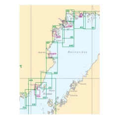
- Area: Germandön - Luleå - Estersön
- International number: INT 1179
- Scale: 1:50000
- Release: March 2024
Archipelago charts cover the entire Swedish coast and are used for navigation in inland waters and coastal waters. The scale is usually 1:50,000. Archipelago charts may include detailed areas of harbours and narrow channels, which are presented at a larger scale, 1:5000–1:25,000. Information has been reduced in areas of the map where archipelago charts are replaced by special charts.
Tuotenr: SS414
Valmistajan tuotenr: INT 1179
Suosittelemme sinulle


