Boating card Stockholm North 2026

- Published: 2026
- Waterproof paper map
- Size: A3
Waterproof map set from the Finnish Maritime Administration. A3 size spiral bound on waterproof pretex paper.
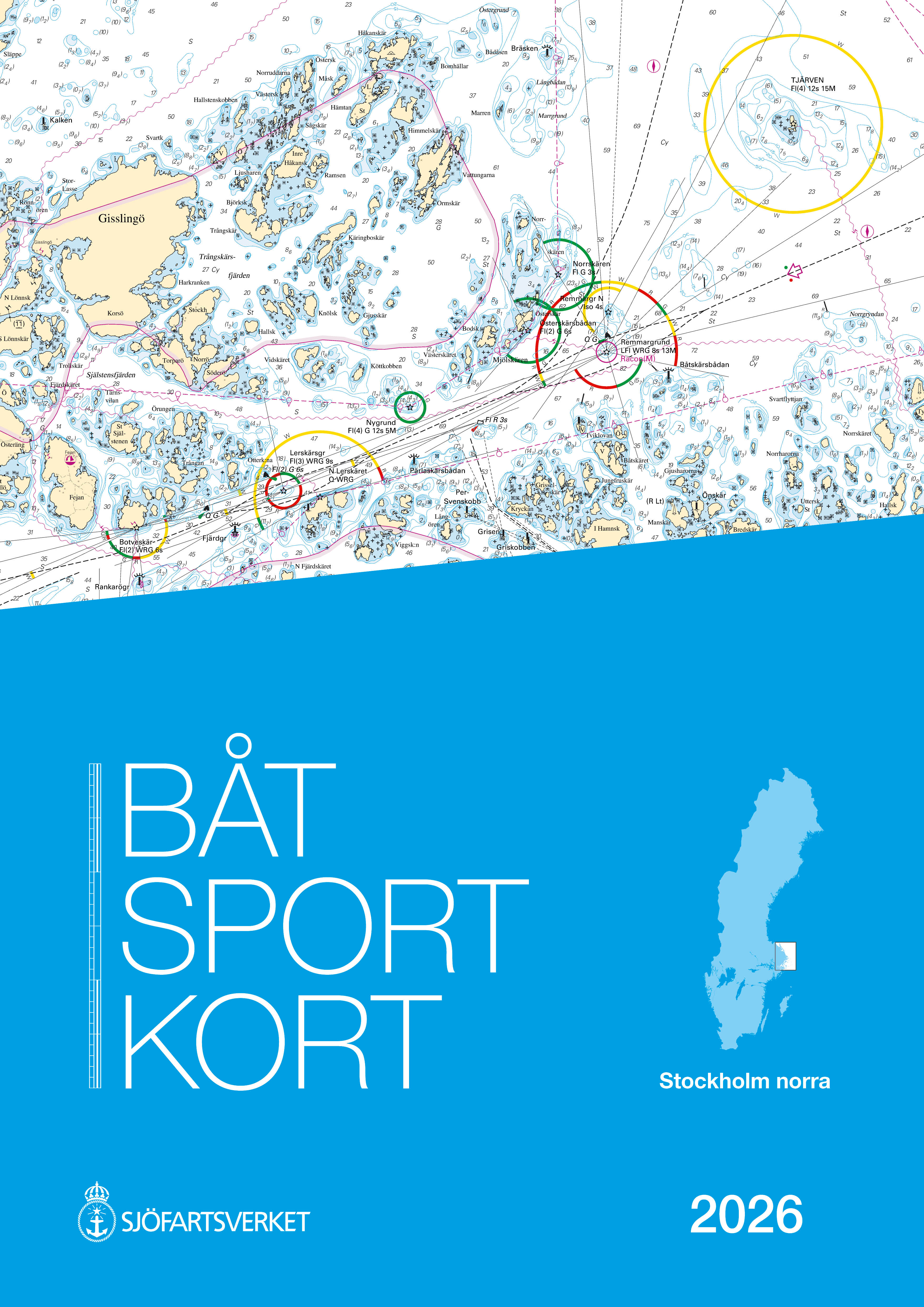
The coverage area is limited to Örskär and Grundkallen in the north, to Horrsten Lighthouse in the south. In the east, the map series covers the Åland Sea and also part of Åland up to Mariehamn.
When approaching Stockholm from the north via Furusund, the Stockholm Norra map series ends at Vaxholm. If you plan to go all the way to central Stockholm, you will also need the Stockholm Mellersta map series.
Tuotenr: 89996
- Published: 2026
- Waterproof paper map
- Size: A3
Waterproof map set from the Finnish Maritime Administration. A3 size spiral bound on waterproof pretex paper.
The coverage area is limited to Örskär and Grundkallen in the north, to Horrsten Lighthouse in the south. In the east, the map series covers the Åland Sea and also part of Åland up to Mariehamn.
When approaching Stockholm from the north via Furusund, the Stockholm Norra map series ends at Vaxholm. If you plan to go all the way to central Stockholm, you will also need the Stockholm Mellersta map series.
Tuotenr: 89996
Suosittelemme sinulle


