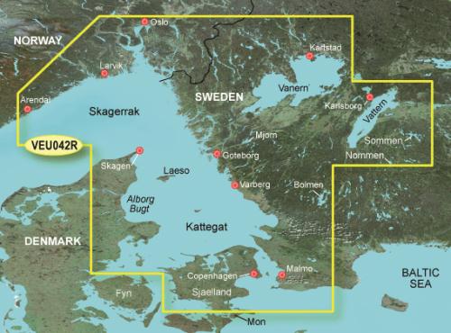
Garmin BlueChart g3 HXEU042R - Oslo-Trelleborg

BlueChart g3 offers unmatched coverage and crisp detail as you navigate the water. It features industry-leading coverage, sharpness, and detail with integration of Garmin and Navionics® content. Marine charts feature Auto Guidance, which calculates and suggests a route based on your desired depth and elevation that you can safely follow.
You can access the map material here .
Check map compatibility here or with customer service.
The charts contain ENC S57 standard nautical chart data provided by the Finnish Maritime Administration and Navionics. Searchable database of natural harbours from Hydrographica for the Stockholm archipelago and the West Coast.
Tuotenr: 14482
Valmistajan tuotenr: 010-C0779-20
Suosittelemme sinulle


