Hydrographica Stockholm Mella Chart Series


- Lådna - Cottage
- A3 size
- Completely waterproof
- Central Islands region
- Scale: 1:10,000
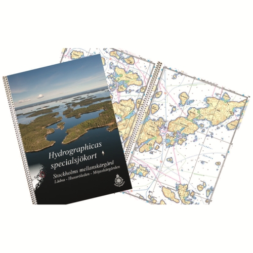
Lådna - Husaröleden - Möjaskärgården
The product is made to a very high quality, as it is printed on durable and completely waterproof plastic, and has a lid that makes the product durable.
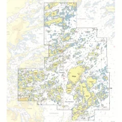
Previously, the area consisted of 11 separate sheets, but the area has now been expanded and combined, covering 430 km², almost double the area of ??previous maps. Extensive new surveys have been carried out in the area, and almost the entire central islands are covered in a new 48-page detailed map at a scale of 1:10,000.
As with the southern region map, this new Stockholm Central Islands map is printed on synthetic paper, which is very durable. Those who are used to collecting Hydrographica charts will be pleased to know that the new areas correspond to almost 9 of the previous A2 charts.
Tuotenr: 89973
- Lådna - Cottage
- A3 size
- Completely waterproof
- Central Islands region
- Scale: 1:10,000
Lådna - Husaröleden - Möjaskärgården
The product is made to a very high quality, as it is printed on durable and completely waterproof plastic, and has a lid that makes the product durable.
Previously, the area consisted of 11 separate sheets, but the area has now been expanded and combined, covering 430 km², almost double the area of ??previous maps. Extensive new surveys have been carried out in the area, and almost the entire central islands are covered in a new 48-page detailed map at a scale of 1:10,000.
As with the southern region map, this new Stockholm Central Islands map is printed on synthetic paper, which is very durable. Those who are used to collecting Hydrographica charts will be pleased to know that the new areas correspond to almost 9 of the previous A2 charts.
Tuotenr: 89973
Suosittelemme sinulle


