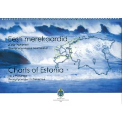
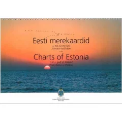
Estonian chart series – a comprehensive sailing atlas for the Estonian coast
In the Estonian Chart Series product group you will find the three-part "Charts of Estonia" chart series, which covers the entire Estonian coast: Vol 1 from Narva to Paldiski, Vol 2 from Osmussaari to Saaremaa and Vol 3 from Saaremaa to Ruhnu Island. The series is designed especially for foreign sailors navigating across the Gulf of Finland or from the Archipelago Sea to Estonian waters, and it complements Finnish coastal charts as the journey continues to the southern side of the sea.
Each volume covers its own geographical area in detail, so a sailor sailing the entire Estonian coast should purchase all three volumes – a single volume is sufficient if the trip is limited to a specific stretch of coast, for example just the Tallinn region (Vol 1). The maps serve as a good complement to an electronic chartplotter, especially in areas where you want to see the entire sailing route at once without constant zooming and scrolling.
Before your trip, check the year of publication of the map and any updates, as fairway markings and depth information may change over time – an up-to-date map is important for safety, especially in coastal areas with shallows and fairways.
The map series is designed especially for sailors who are sailing from Finland to Estonia or circumnavigating the entire Estonian coast on a trip lasting several weeks – the three-part division allows you to purchase only the part you need if your trip is limited to, for example, the Tallinn region or the western islands. The maps have been prepared especially for the needs of boaters, so they highlight depth information, ports and anchorages more clearly than a regular land map.
Combine the Estonian map set with the Finnish coastal maps if your trip covers both sides of the Gulf of Finland – this way the entire route remains uninterrupted without gaps in the mapping. Store the printed maps in a dry place and protect them from moisture, for example in a map case, as paper maps are susceptible to damage from splashing water with the lid open.
The maps are designed specifically for boating, unlike regular road maps, in that they highlight coastline details, depth contours and navigational features – making them much more useful for sailing than a general-purpose tourist map. Consider laminating your maps or protecting them in a plastic sleeve if you frequently use them on open deck in splashing water.
The scale of the charts is designed specifically for coastal sailing, not open sea sailing, so if you are heading further into the Baltic Sea, it is worth supplementing your selection with general charts or electronic nautical charts.
The three parts of the map series are also sold together as a package if you need a complete set covering the entire Estonian coast at once without separate orders.