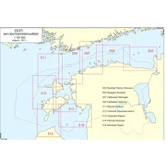
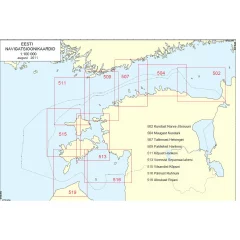
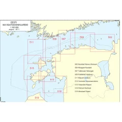
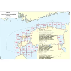
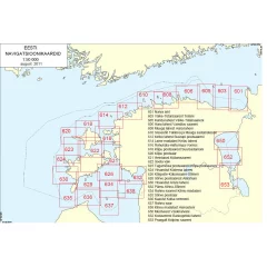
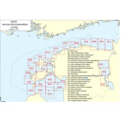
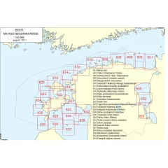
The Estonian coastal maps cover the Estonian coastal waters in detailed sheets, numbered consecutively along the coast: map 502 from Kunda to Narva-Jõesuu, 504 from Muuga to Kunda, 507 from Tallinn to Helsinki, 509 from Vormsi to Hanko, 511 from the peninsula from Kõpu to Hanko, 513 from Roomassaari to Vormsi and 515 from Vilsandi to Kõpu. The series continues with several sheets, covering the entire Estonian coast from the Gulf of Finland to the Saaremaa and Hiiumaa archipelagos.
The charts are suitable for both advance route planning and boat navigation, and their scale is designed for coastal boating — depth contours, fairways, lighthouses and other maritime safety devices are displayed with sufficient accuracy for safe passage even in unfamiliar waters. The Estonian coast offers Finnish boaters a popular sailing destination across the Gulf of Finland, and choosing the right chart depends on which part of the coast you are sailing.
Because nautical charts become outdated with changes in navigation routes and new safety equipment, it is a good idea to check the year of publication of the chart and, if necessary, compare it with up-to-date marine information before embarking on a long sailing trip. A paper chart also serves as a good backup system alongside electronic navigation if the equipment fails during the trip.
The scale of a coastal chart directly affects how detailed channels, shoals and depth contours are displayed — charts designed for coastal boating, such as this series of the Estonian coast, are scaled to an accuracy that is sufficient for safe navigation even in an unknown archipelago, unlike general charts of a larger scale. The numbering of the charts follows the coast consistently, so it is easy to select consecutive sheets when planning a route to cover the entire route across the Gulf of Finland from the Tallinn region to Saaremaa and Hiiumaa. The Estonian archipelago differs from the Finnish one, among other things, in that it has a significantly sparser network of lighthouses and buoys in some areas, which is why the importance of an up-to-date chart and careful route planning is emphasized, especially for those sailing in the area for the first time. In addition to a paper map, it is always a good idea to have an electronic navigation system as a backup, but a paper map serves as a reliable backup system if the hardware's power supply or software fails mid-trip — which is why many experienced sailors keep up-to-date paper maps with them even on modern, well-equipped boats.
It is recommended to store maps in a dry protective case on the boat, as moisture and UV radiation will fade the print and reduce the readability of the map over time.
It is worth checking the completeness of the map set before your trip to ensure that the entire planned route is covered without missing tabs.
It is also a good idea to keep up-to-date information for mariners with the map so that changes to the waterway and new safety equipment are taken into account during the journey.