Hydrographica
Hydrographica group products
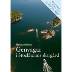
In this book, Hydrographica has used its technology to map and present 107 shortcuts that most people consider to be impassable or very difficult. In most cases, however, they are not as difficult as rumors suggest, and with Hydrographica's new book, it is possible to try many new routes that previously seemed impossible. Each route description is illustrated with a detailed sea chart, helicopter photo and text explanation. This book will be as important on board as the nature-harbour guide Hamnguiden 8 – Arholma – Landsort . Published by Hydrographica.
- Stockholm archipelago
- 107 shortcuts
- Helicopter image and text description
- Language: Swedish
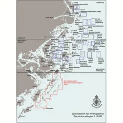
The maps included in the collection are:
- 615-12 Monk
- 615-13 Runmarö - Vidskären
- 615-14 Rågskär
- 615-15 Bullerö
- 616-01 Hamnskär - Ormskär
- 616-02 Långviksskär - Hallskär
- 616-03 Biskopsö - Finnskär
- 616-04 Huvudskär
- 616-05 Gillinge
- 616-06/07 Villinge/Norsten
- 616-08 Norra Fjärdlång
- 616-09 South Fjärdlång
- 616-10/11 Jungfruskär/Skeppskobben
• Completely waterproof
• Southern Islands region
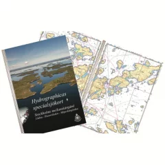
Lådna - Husaröleden - Möjaskärgården
The product is made to a very high quality, as it is printed on durable and completely waterproof plastic, and has a lid that makes the product durable.
Previously, the area consisted of 11 separate sheets, but the area has now been expanded and combined, covering 430 km², almost double the area of ??previous maps. Extensive new surveys have been carried out in the area, and almost the entire central islands are covered in a new 48-page detailed map at a scale of 1:10,000.
As with the southern region map, this new Stockholm Central Islands map is printed on synthetic paper, which is very durable. Those who are used to collecting Hydrographica charts will be pleased to know that the new areas correspond to almost 9 of the previous A2 charts.
- Lådna - Cottage
- A3 size
- Completely waterproof
- Central Islands region
- Scale: 1:10,000
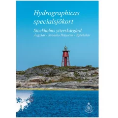
613 Stockholm ytter södra covers the area Ängskär – Svenska Högarna – Björkskär.
The open waters between these areas are covered by nautical charts at a scale of 1:25,000. The special boat chart has scales of 1:10,000 and 1:25,000, and as with all our special nautical charts, it includes a 2- and 3-meter bathymetric contour as well as accurate depths and landforms. The map scale is 1:10,000
The special boat charts are ring-bound in A3 size (29.7 x 42 cm) and are designed in accordance with the Swedish Maritime Administration's Båtsportkort series. The material of the special boat charts is Polyart, a synthetic polyester material that feels like paper. They are waterproof, oil-resistant, writable and easy to clean.
- Name: 613 Stockholm ytter Södra
- Area: Ängskär – Svenska Högarna – Björkskär
- Scale: 1:10,000 and 1:25,000
- Format: Ring-bound A3 (29.7 x 42 cm)
- Number of pages: 42 pages
- Material: Polyart
- Special boat map
- Stockholm Outer Islands Area
- Southern part
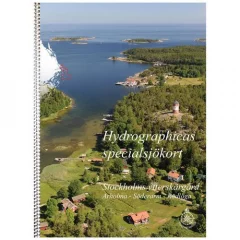
611 Stockholm outer north covers the area Arholma – Söderarmsskärgården as well as Norrpada, Rödlöga, Rödlöga Storskär and Röder.
- Name: 611 Stockholm outer north
- Area: Arholma – Söderarm – Rödlöga
- Scale: 1:10,000 and 1:25,000
- Format: Ring-bound A3 (29.7 x 42 cm)
- Number of pages: 42 pages
- Material: Polyart
- Special boat map
- Stockholm Outer Islands Area
- Northern part


